Exploring the abundance of Indigenous homelands
Jessica Douglas
Indigenous Storytelling & Engagement Fellow
Megan Foucht
Senior Communications Manager
An island within the Confederated Tribes of Coos, Lower Umpqua and Siuslaw lndians homelands. Photo credit: Morgan Heim
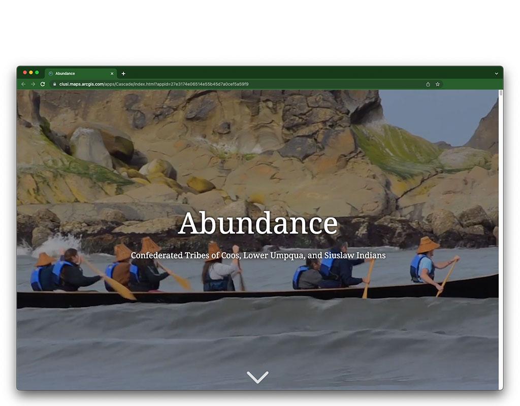
With the Confederated Tribes of Coos, Lower Umpqua, and Siuslaw lndians (CTCLUSI), we produced an interactive multimedia experience that provides educators throughout Oregon with a contemporary presentation on the tribes’ unique history, culture, and homelands.
ln 2017, the Oregon legislature passed Senate Bill 13, also known as Tribal History/Shared History Bill. This statewide mandate provided funding to develop curriculum and teach tribal history in public schools throughout the state.
Now, via the Oregon Department of Education, educators can access curriculum from nine federally recognized tribes and tribal confederations. In a departure from status-quo curriculum development, funding was given directly to tribes to create grade-specific lesson plans that incorporate Indigenous language, history, and culture in language arts, social studies, math, and science.
“Tribes helped create curriculum for school districts around the state, so that kids could learn about the tribe or tribes whose lands were in the vicinity of that school district, which is great, because I know for a lot of Oregon tribes, there’s not a lot of good information out there,” said Patricia (Patty) Whereat Phillips, tribal linguist for the Confederated Tribes of Coos, Lower Umpqua, and Siuslaw lndians (CTCLUSI). “When trying to do research on tribal language, history, genealogies, and culture, there’s a lot of information in disparate sources, like a lot of interviews and sound recordings from different decades. It’s not an easy body of knowledge to interpret.”
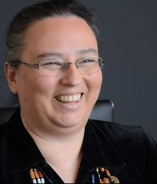
Patricia (Patty) Whereat Phillips, who is Miluk Coos, tells the story of salmon. Video still, courtesy of Wisdom of the Elders
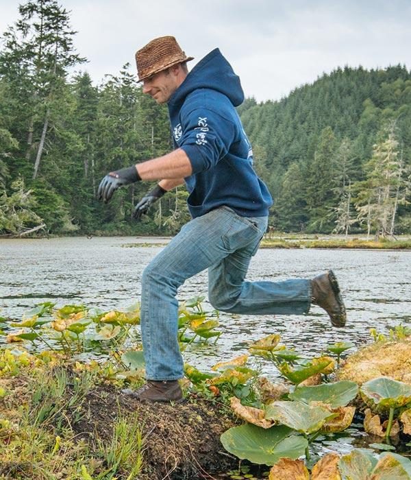
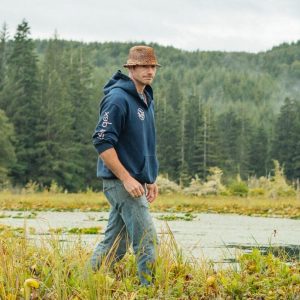
Jesse Beers of the Confederated Tribes of the Coos, Lower Umpqua, and Siuslaw Indians walks on a floating island on Tahkenitch Lake. Photo credit: Morgan Heim
“And if any person who’s curious, much less a school teacher wanting to build lessons, wants to learn about any particular Oregon tribe, such as the Paiute, Clackamas, whomever, it’s really hard to find good, accurate information. A person coming into it cold, not knowing anything, would have a next-to-impossible task to figure out, ‘Okay, what’s good information? What’s dodgy information? What’s complete nonsense?'” Patty said.
“So it’s really great to bring in the tribes and try to create something that’s actually factually accurate and not riddled with errors,” she said.
As part of this effort, Ecotrust was honored to be invited into a collaboration with CTCLUSI to develop a contemporary, multimedia offering of the Tribes’ history, culture, and language.
“The StoryMap shows ongoing work and ongoing cultural activities. lt shows that these places are connected to our people, and have been for thousands of years.”
—JESSE BEERS,
CULTURAL STEWARDSHIP MANAGER FOR THE CONFEDERATED TRIBES OF COOS, LOWER UMPQUA, AND SIUSLAW INDIANS
“History, a lot of times, can be really difficult for tribal members to share over and over and over again,” said Jesse Beers, Siuslaw tribal member and cultural stewardship manager for CTCLUSI. “We can teach it, but it’s hard. It’s taxing and kind of inducing that trauma in the next generation, and we didn’t want to do that.”
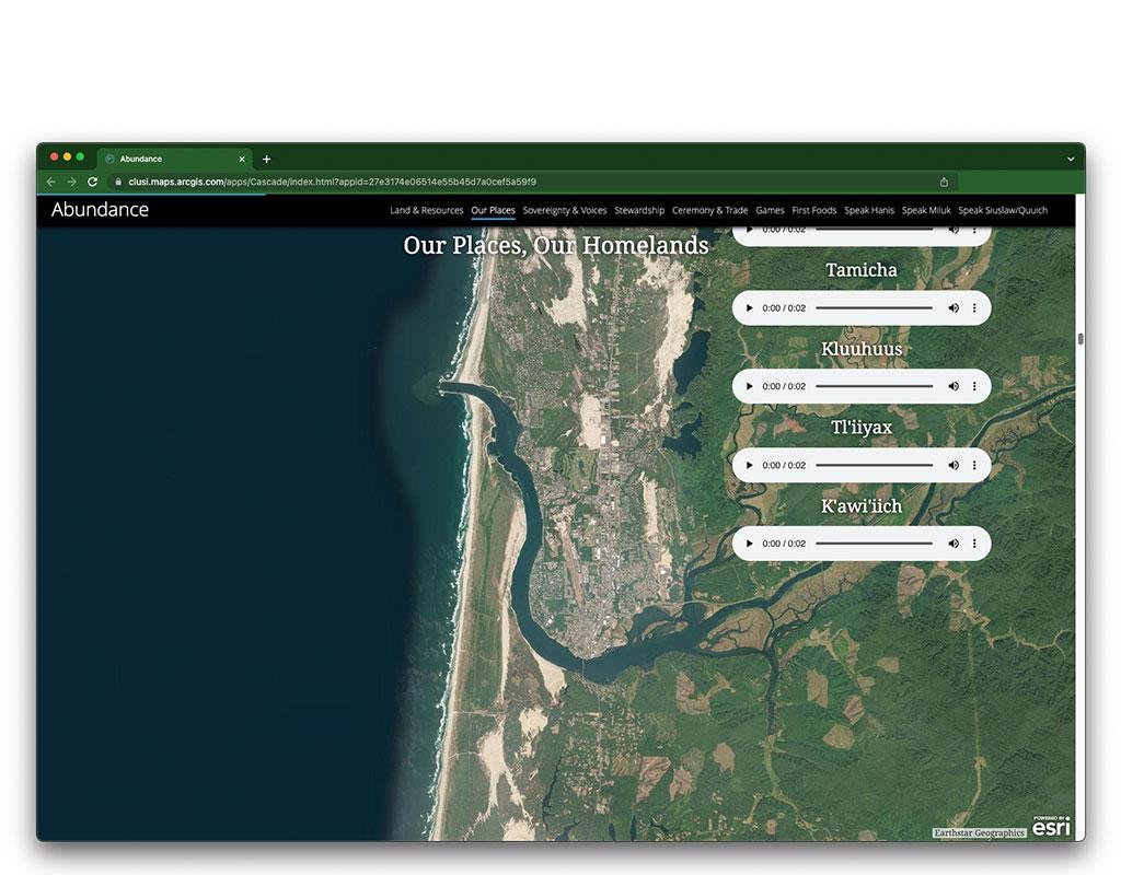
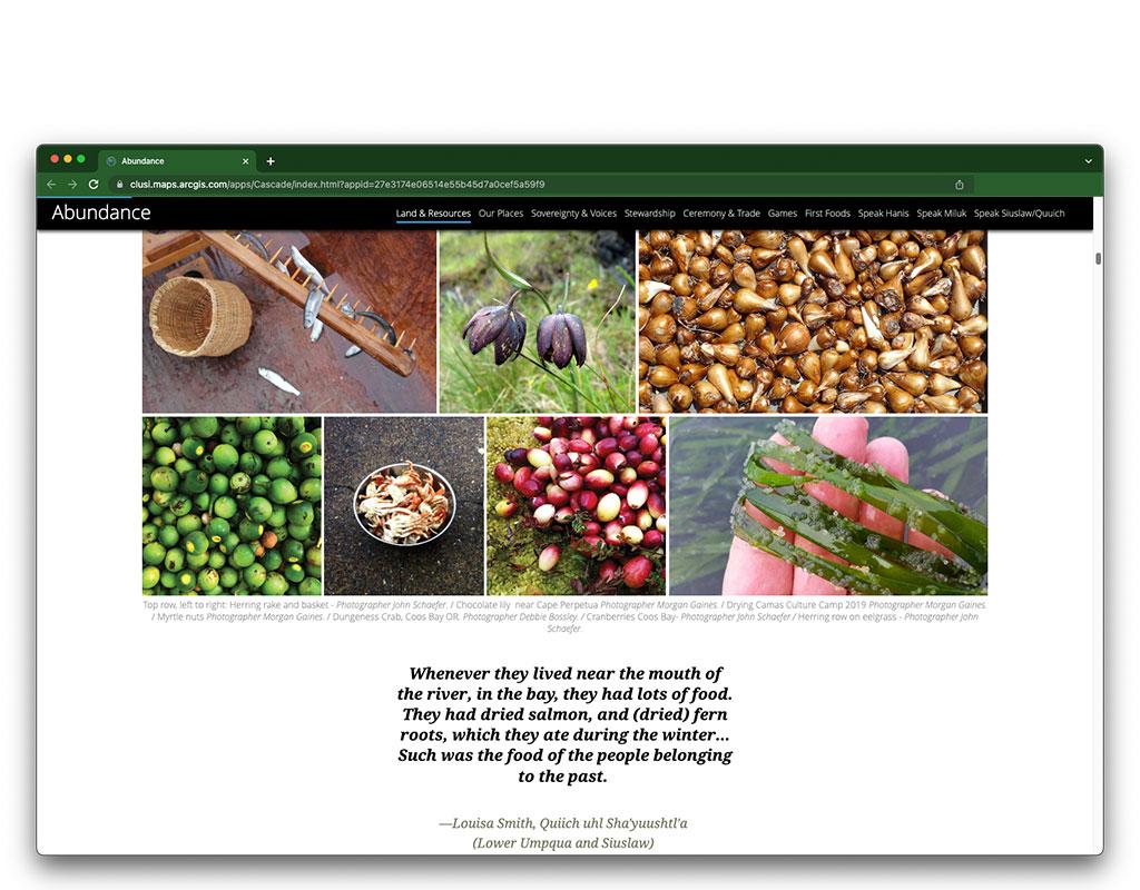
Instead, partnering with an Ecotrust team of storytellers and mapmakers, CTCLUSI is offering pictures, songs, audio, and narrative created by tribal members to share and give voice to the tribes’ culture and stories via a StoryMap, an online tool provided by Esri, a global geographic information system (GlS) company.
“The word abundance came out of meetings with Ecotrust staff member, Lisa Watt, and she asked us, ‘What do you want your kids, your grandkids to know about your Tribes when they’re in school?'”
“We wanted to carry over something positive and to get youth interested. Even if they’re not knowledgeable about our culture, they can come in and see that it’s still happening and learn more about it,” Jesse said about the decision to create the StoryMap in addition to tribally focused curriculum.
The title of the StoryMap, Abundance, refers to tribal teachings that aim to instill an understanding of the connectedness between stewardship efforts of today and the abundance available to future generations.
“The word abundance came out of meetings with Ecotrust staff member, Lisa Watt, and she asked us, ‘What do you want your kids, your grandkids to know about your Tribes when they’re in school?'” Jesse noted. “When we talk to our own kids at home, we really try to instill in them to show respect for the things around them, that there is a connectedness to the things around them. And we should be stewarding for abundance and for future generations, never taking more than you need, and always to harvest in a good way.”
Through 10 chapters, the Abundance StoryMap provides audio and video clips, interactive maps, and more, showing the breadth and depth of the cultural and place-based abundance of CTCLUSI Tribes whose homelands are centered around river and lake systems in the coastal range of present-day Oregon. Importantly, the StoryMap provides not only historical information but also a modern presentation of tribal knowledge.
“Overall we wanted to create something that our youth would be proud of … and I think we did that.”
“I really like that it’s very modern and that it’s not sepia-toned or in very 19th century black-and-white photos,” Jesse said. “There are some of those photos in there, but it’s centered around quotes, and then immediately followed up by modern-day quotes of tribal membership or tribal citizens. The StoryMap shows ongoing work and ongoing cultural activities. It not shows that these places are connected to our people and have been for thousands of years, but it also tells the story that we’re still on this landscape to practice our culture, and restore lands—whether that be our future generations or the coho or lamprey or a multitude of other people and creatures that live in this place with us. Overall we wanted to create something that our youth would be proud of … and I think we did that.”
Completed and published in 2020, the Abundance StoryMap was created in collaboration with CTCLUSI Tribal citizens and employees, and Ecotrust colleagues Jocelyn Tutak, Lisa Watt, and Sarah Cline. To view Abundance, please click here.
- Oregon
Links


Latest Blog Posts
- Blog
- Blog
- Blog
